A Linear Coding Method for Communication in Networks
Leveraging data from generic sensing devices to enable accurate crowd-sourced road geometry estimation and enhanced vehicular state estimations.
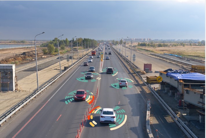
In the transportation industry, key challenges revolve around obtaining road geometry data and reliable vehicular state estimation using generic sensing devices. These devices, while widely used for navigation and other applications, face limitations such as sensor accuracy and variability in device placement within vehicles. Traditional methods often struggle to compensate for these challenges, leading to inaccuracies in localization and navigation, particularly in urban areas or environments with obstructed GPS signals.
This University at Buffalo technology improves road geometry estimation and vehicular state tracking by harnessing data from common sensing devices like smartphones and tablets. It employs techniques to fuse data from accelerometers, gyroscopes, and GPS, enabling accurate estimation of road features and vehicle states. The technology utilizes the gyroscope as the primary sensor for estimating road geometry features likes grade, elevation, and transverse slope. Secondly, it leverages remote sensing elevation data and road design principles to estimate accelerometer bias, addressing challenges related to arbitrary sensor placement within the vehicle Thirdly, it implements quality-aware crowd-sourcing and decouples estimations from accelerometer and gyroscope data from different trips, ensuring more accurate road geometry estimations.
 Source: kosssmosss, https://stock.adobe.com/uk/390186275, stock.adobe.com
- Higher accuracy in road geometry estimation compared to generic sensing devices.
- More reliable vehicle state estimation by compensating for varying road geometry and sensor biases, enhancing the performance of transportation applications such as navigation and fleet management.
- Enables cost-effective and widespread implementation, leveraging readily available sensors and remote sensing data to deliver accurate results without the need for expensive equipment or manual calibration steps.
- Improves mapping services for ridesharing and fleet management.
- Facilitates insurance telematics for assessing driving behavior and risk.
- Contributes to urban planning and infrastructure development by offering detailed insights into road conditions and traffic patterns.
U.S. patent application 18/633,500 filed April 11, 2024.
Technology Readiness Level (TRL): 6
Available for licensing or collaboration.
Patent Information:
| App Type |
Country |
Serial No. |
Patent No. |
Patent Status |
File Date |
Issued Date |
Expire Date |
|